Project Snapshot
Overview
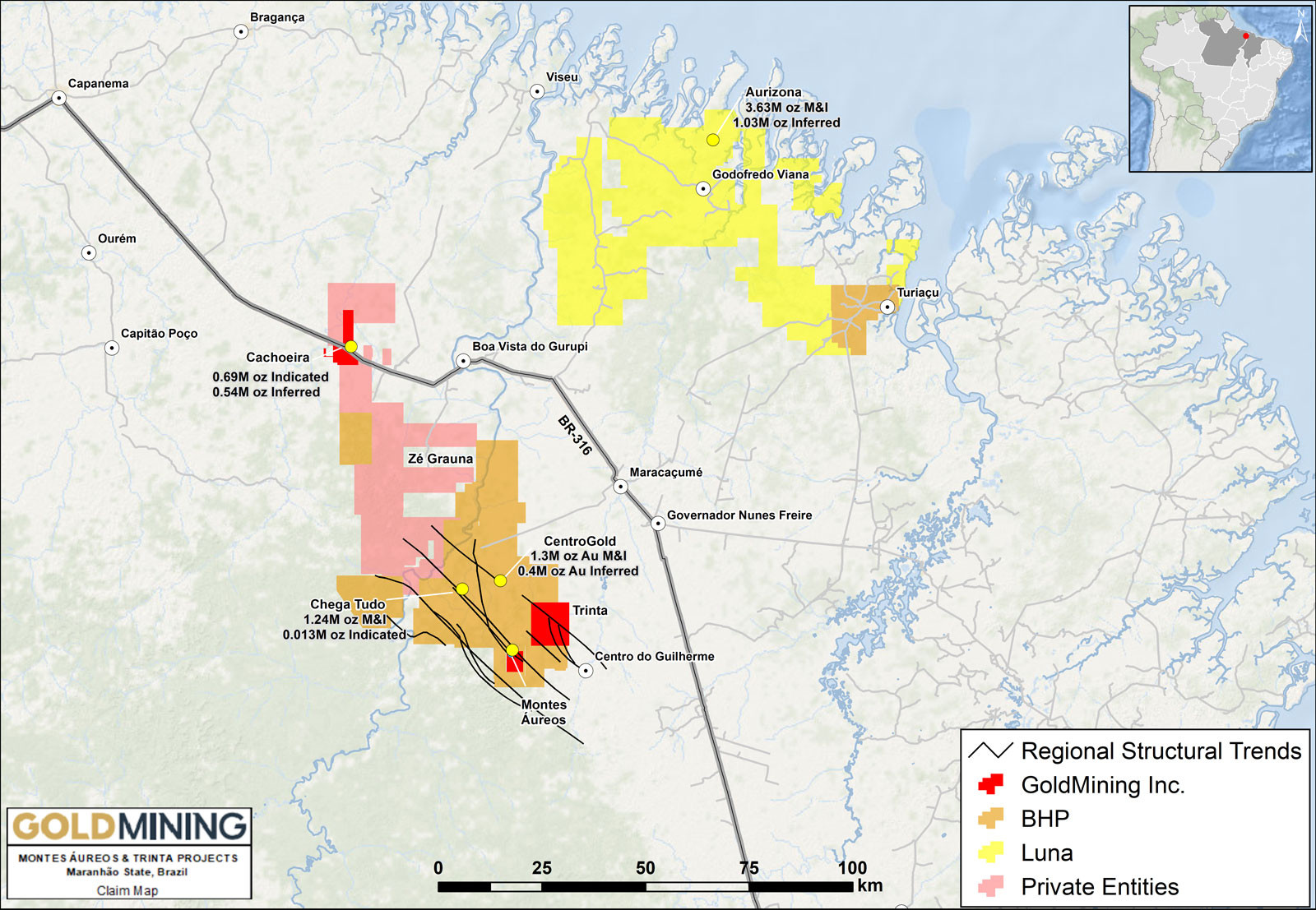
The Montes Áureos and Trinta Projects are comprised of two properties located 80 km southeast of the Company’s advanced stage Cachoeira project located within the prolific Gurupi Greenstone Belt. The land package comprising of 2 exploration permits and 1 exploration application totals 11,100 ha (111 km2).
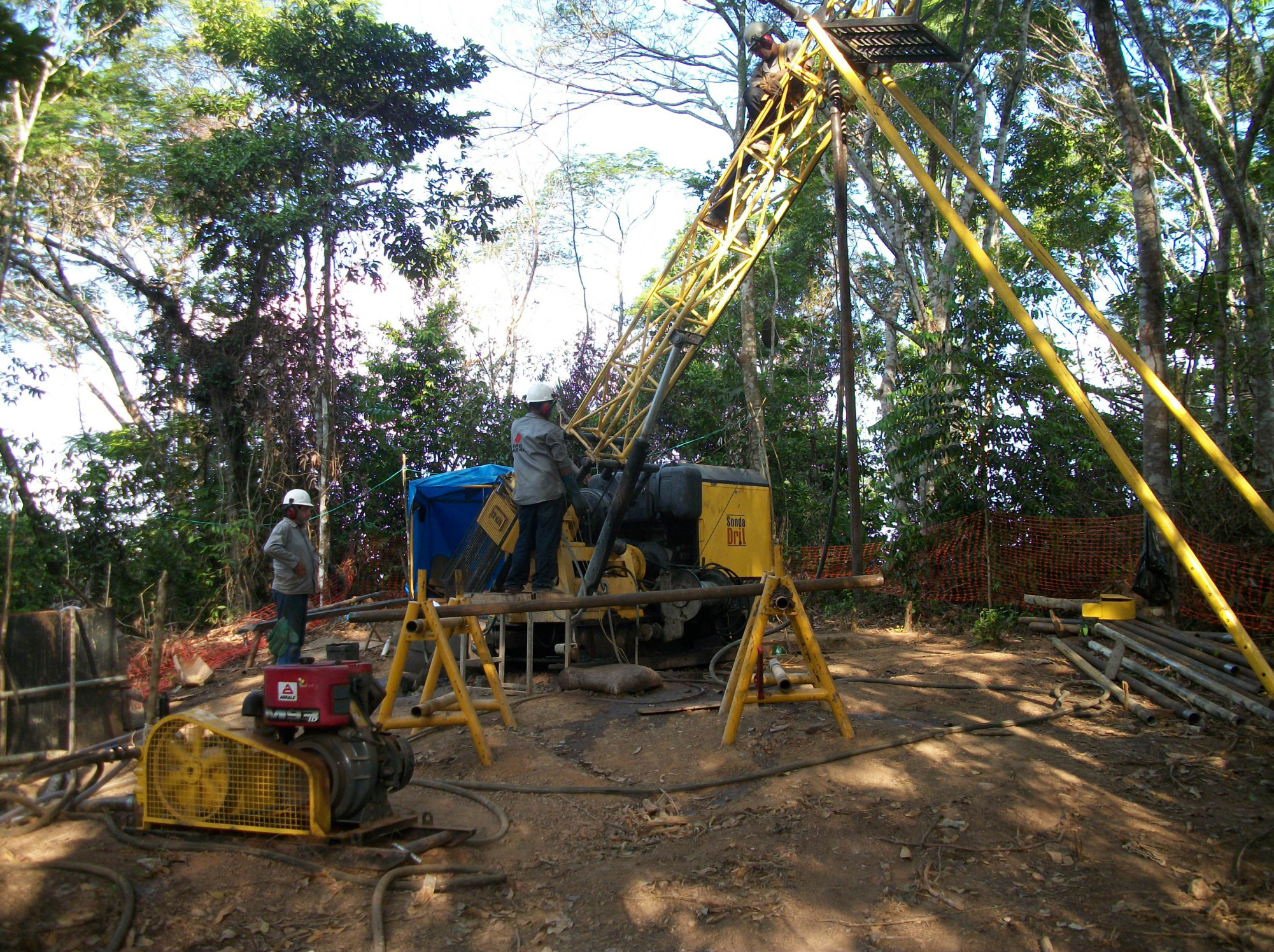
At Montes Áureos geochemical and geophysical surveys have outlined a gold-in-soil anomaly that measures 2,000 metres by 100 metres. Exploration drilling (10 holes for 1,616 metres) has tested approximately 500 metres of strike length of the above anomaly with several intersections grading 0.5 to 1.0 g/t gold over several metres to tens of metres.
Location
Gurupi Greenstone Belt in Maranhão State, Brazil
Property Size
11,100 ha (111 sq km)
Ownership
Joint-Venture 51%
Commodity
Gold
Infrastructure
Paved highway, water and nearby electrical power grid
Deposit Type
Orogenic
Location
The Montes Áureos and Trinta Projects are located in the municipality of Centro de Guilherme, approximately 200km directly west of São Luís city, the capital of the Maranhão state and 250km east of Belém, the capital of Pará state.
The Projects are comprised of 2 exploration permits and 1 exploration application totalling 11,100 ha (111 km2), in the Gurupi Greenstone Belt. GoldMining Inc. has a Joint Venture Agreement (51% equity) with Apoio Engenharia e Mineração.

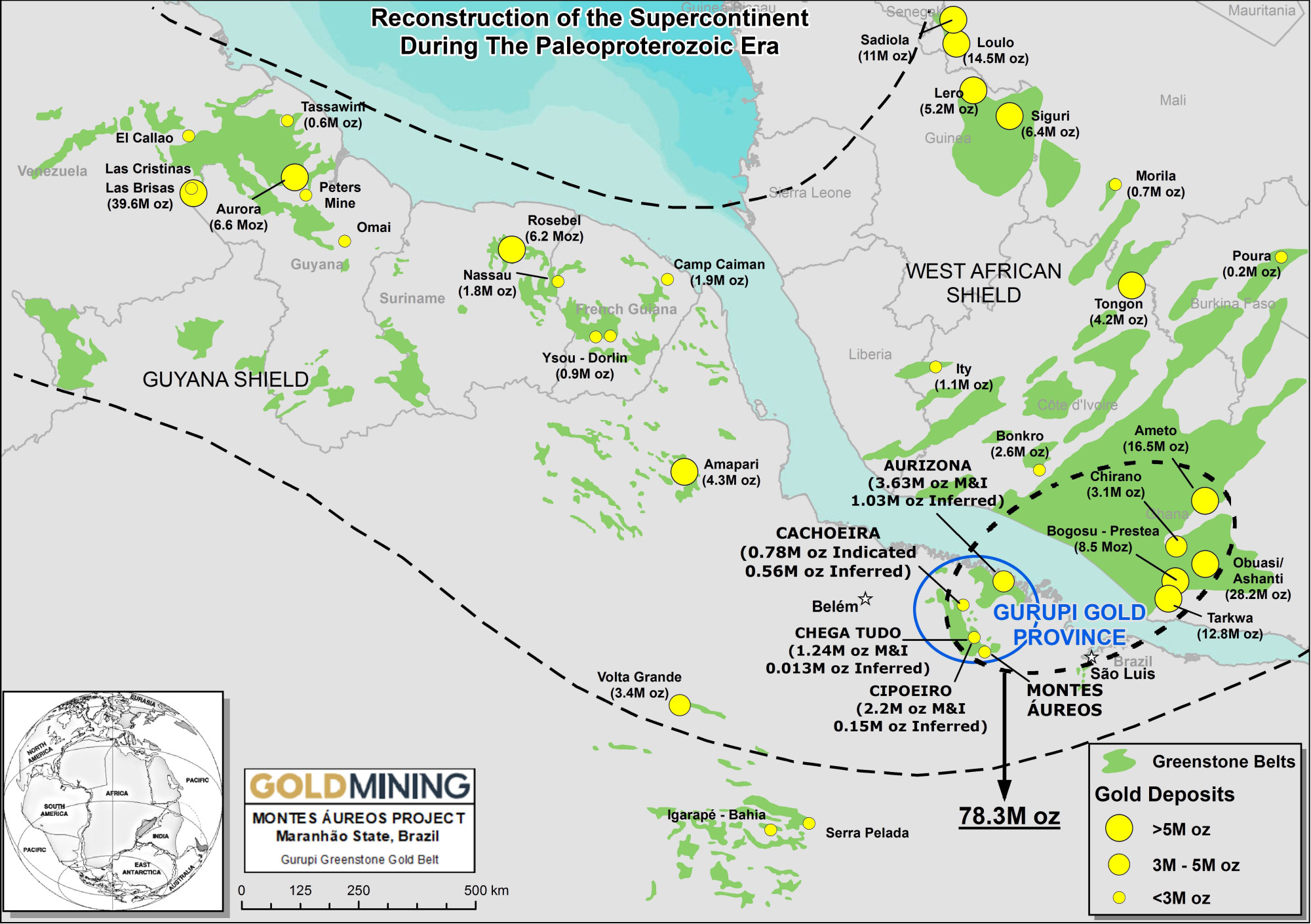
Gurupi Greenstone Belt
The Montes Áureos and Trinta Projects sit at the center of the Neoproterozoic Gurupi Greenstone Belt, which lies on the margin of the Sao Luis Craton. These terranes are correlated with geologic terranes of similar age in West Africa.
The Property is located within the Tentugal Shear Zone that cuts the north-central portion of the Gurupi Belt and extends for over 120 km along strike and in places reaches 30 km in width. The Tentugal Shear Zone is a sinistral, transcurrent fault system with a subvertical plunge and hosts the majority of gold deposits and occurrences within the Gurupi Greenstone Belt.
Orogenic gold deposits account for a major percentage of global gold production and are abundant in many Archean and Proterozoic-Phanerozoic terranes. This deposit type tends to occur in clusters, forming gold “camps”. Global examples of these deposits include Chirano and Obuasi (Ghana), Rosebel (Suriname), Hollinger-McIntyre (Canada) and Golden Mile (Australia).

Geology and Mineralization
The Projects lie within an elongated northwest–southeast trending shear zone developed along the boundary between the southwestern margin of the Archaean São Luís Cráton and the Neoproterozoic Gurupi belt.
The most important gold deposits and showings of the Gurupi greenstone belt, including the Montes Áureos property, are hosted in structures associated with the strike-slip, sinistral Tentugal shear zone.
Gold Mineralization:
Gold mineralization is related to a superimposed structural and hydrothermal event which generated a system of vein and veinlets both concordant and discordant to the rock foliation.
The sheared quartz veins show carbonate-chlorite-sulphide alteration halos. The spatial distribution of the Montes Áureos gold mineralization shows lenticular to tabular bodies of up to 20m thickness, elongated in a northwest-southeast direction with a southwest dip and with gold contents of up to 2 g/t.
Activities:
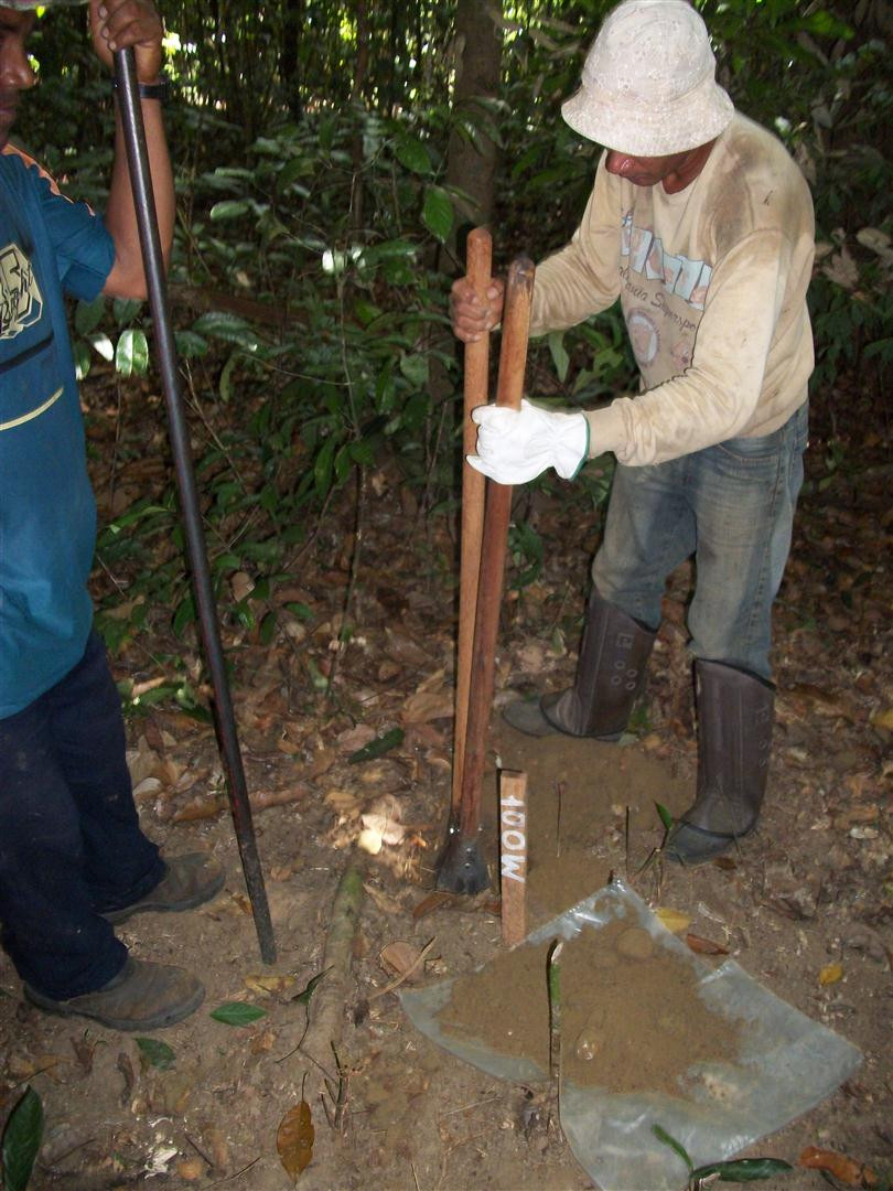
- Historic drilling completed: 10 holes (1,616 m) at Montes Áureos
- Exploratory soil sampling program, 625 samples (Montes Áureos)
- Exploratory trench program
Montes Aureos And Trinta